The Best Paper Award of the 5th International Conference on Human-Centered Design, Operation and Evaluation of Mobile Communications
has been conferred to
Xiaoyu Zhang and Sunao Iwaki
(University of Tsukuba / National Institute of Advanced Industrial Science and Technology – AIST, Japan)
for the paper entitled
"Self-Location and Reorientation of Individuals Without Reading Maps: Increased Spatial Memory During GPS Navigation Using AR City Walls"

Xiaoyu Zhang
(presenter)

Best Paper Award for the 5th International Conference on Human-Centered Design, Operation and Evaluation of Mobile Communications, in the context of HCI International 2024, Washington DC, USA, 29 June - 4 July 2024

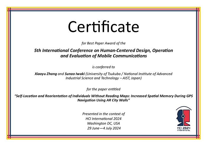
Certificate for Best Paper Award of the 5th International Conference on Human-Centered Design, Operation and Evaluation of Mobile Communications presented in the context of HCI International 2024, Washington DC, USA, 29 June - 4 July 2024
Paper Abstract
Consulting a map on navigation assistance systems while navigating the real-world environment can reduce spatial memory. The current augmented reality (AR) view, which merges physical and virtual information spaces, facilitates wayfinding by overlaying route indications in the real-world environment. Traditionally, switching from the AR to the map view has been considered essential for encoding spatial representations in the brain constructing the cognitive map. However, we propose that the need for maps can be reduced by utilizing AR objects that simulate the environmental boundary surrounding the navigation area. Based on this concept, we designed a prototype, AR City Walls, and conducted an experiment to evaluate spatial memory and workload during Global Positioning System (GPS)-aided navigation without map exposure. Compared to the AR view displaying route indications only, the AR City Walls combining route indications significantly improved cognitive map construction and wayfinding while maintaining a low workload. Simulating real environmental cues crucial for spatial cognition during navigation embodies the simplicity, naturalness, and immediacy of virtual information displays.
The full paper is available through SpringerLink, provided that you have proper access rights.